Old Rail Trail Greenway
 Mullingar





Overview
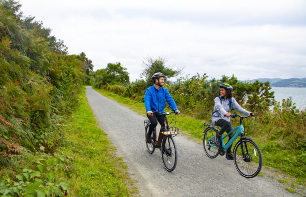
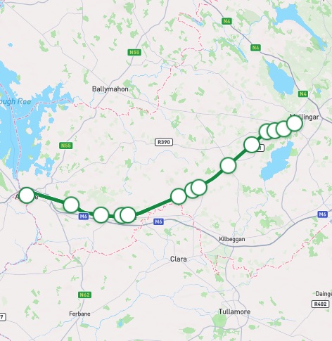
The Old Rail Trail is a rural route through the heart of the Irish Midlands, starting in the bustling town of Athlone using the track-bed of a disused railway line. The 43km journey takes us through rich fertile farmland, away from the hustle of towns, in a beautiful rural setting to the market town of Mullingar. With its gentle gradients, wide path and numerous access points, the trail is suitable for all levels of fitness and ability. The route does interface with several junctions with clear signage indicating that you should slow down when crossing.
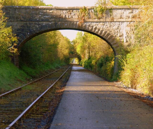
Along the way, visitors will encounter restored station houses, track, bridges and platforms that recall the railway age. Mullingar at the eastern end offers a link to the Royal Canal Greenway, enabling longer journeys west to Longford or east towards Dublin. At the western end, Athlone is a thriving business and shopping town centrally located in the midlands of Ireland on the banks of the River Shannon.
Athlone – Moate
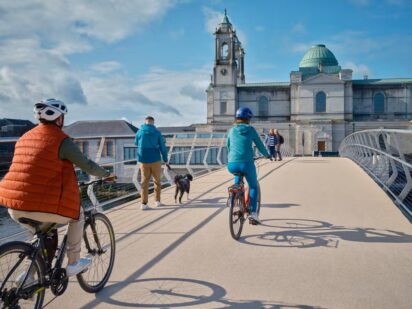
The greenway starts beside Athlone Castle and Luan Gallery at the Athlone Greenway Bridge. The bridge includes an inlaid bronze plaque showing River Shannon and the border between the provinces of Connacht and Leinster. Cross the bridge and turn left along the Athlone Marina. You will pass by a Franciscan Abbey and Graveyard before crossing Abbey Road. You will pass under the active railway line joining a segregated route that will take you out of the town past access points at Whitegates and Garrycastle. On the outskirts of the town, you will reach Crosswood Bog (marked by a slightly rougher surface) – this is a raised bog and a Special Area of Conservation. After approximately 15 kilometres, you will reach Moate.
Moate – Castletown Geoghegan
Castletown Geoghegan – Mullingar
Continuing your journey

Need to Know
There are no width constraints or steep elevations along the 43km route. Access points can facilitate all bicycle types.
Download Your Route
Amenities
- Accommodation
- Picnic Area
- Information
- Historic Site
- Water Fountain
- Bus Stop
- Parking
- Train Station
- Refreshments
- Restaurant
- Playground
- Bike Repair


Route connects with…
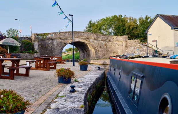
Royal Canal Greenway
A 1-kilometre pollinator trail created along the greenway at Streamstown is designed to facilitate knowledge transfer. The trail features posts identifying bumblebee species and flowers, each with a QR code linking to the National Biodiversity Data Centre, supporting citizen science and promoting awareness of pollinator-friendly actions.
A variety of pollinator-friendly actions have been implemented along the Greenway, including verge strips that are cut and lifted. The remaining verge is left undisturbed to support pollinators. Pesticides are not used, and All Ireland Pollinator signage marks wildlife areas, pollinator-friendly zones, and pesticide-free zones.
Biodiversity events are hosted on the Greenway for example Wild Child Day, celebrated during Heritage Week, featured a family walk along the Greenway at Streamstown, incorporating a scavenger hunt. Along the way, children learned fascinating facts about local flora and fauna, the importance of biodiversity, and how to respect and protect nature.

Code of Conduct
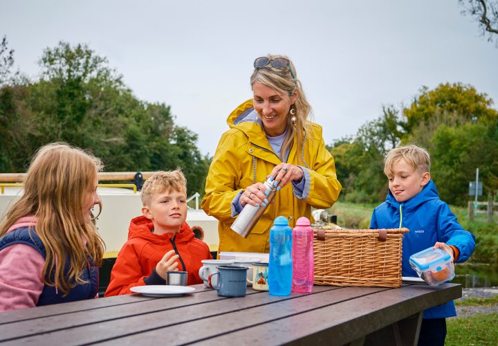
To keep our greenways welcoming and safe for all users—walkers, cyclists, families, and wildlife alike—please review our Code of Conduct before you go.
Read Code of ConductGetting There
Whether you’re travelling by train, bus, or car, use these tools to plan your route.
Common Questions
There are trailheads at Athlone, Tully, Moate, Streamstown, Castletown, Ballinea and Newbrook. These are open 24/7.
Mullingar, Moate and Athlone are well served by bus services; Both termination points in Mullingar and Athlone are served by rail services.
For further information, please visit: https://www.transportforireland.ie/.
Parking is available at trailheads at Athlone, Tully, Moate, Streamstown, Castletown, Ballinea and Newbrook, these facilities are open 24/7. Streamstown Trailhead has a EV charging point.
The surface type along the greenway is mixed. Most of the route (41km) is smooth with a gravel surface finish used on the 2 kilometre section crossing the Crosswood bog.
Water fountain facilities are located at Moate, Athlone and Streamstown trailheads.
Bike parking facilities are located at Moate, Athlone and Streamstown trailheads
There are bike repair stations at Streamstown trailhead and Newbrook, Mullingar.
A bike sharing scheme is available in Athlone and Mullingar (operated by Moby Bikes). More details can be found via the Moby Bike app. Bike hire is available from Mullingar Bike Hire Limited and OE Bikeshop Mullingar. Further details of these services can be found online.
Any reference to specific bike hire operators should not be regarded as a recommendation for their services.
Rest facilities are located at 3 locations in the Athlone urban area and at the Moate Streamstown, Ballinea and Mullingar trailheads
There are toilet facilities along the Greenway at Jack’s Stop, Steamstown.
There are a number of play areas along the route located at Moate, Streamstown, Ballinea and Mullingar.
News and Updates
View All
Grand Canal Greenway Update
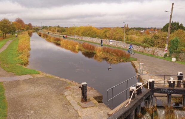
Royal Canal Greenway Update