Carlingford Lough Greenway
 Newry
Newry 





Overview
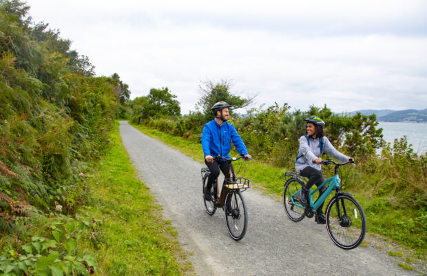
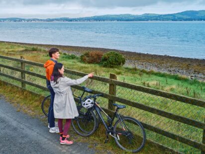
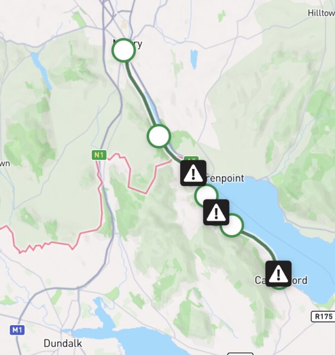
Built along the former Dundalk Newry & Greenore railway line, the Carlingford Lough Greenway is a cycling and walking route along the majestic shore of Carlingford Lough. Running along the south and western lough edge, the route stretches out from the Carlingford village into the village of Omeath and up along the Newry river to the city of Newry. Carlingford Lough is one of the few Irish fjords with the Mourne mountains on the north side and the Cooley mountains on the south side. The route takes in farmland, castles of former kings, historic shrines to saints, site of maritime industrial heritage and stunning viewing points of the estuary.
This cross-border route is 20 kilometres long connecting Carlingford village to Newry with the border between Ireland and Northern Ireland located just north of the village of Omeath. This Greenway is located approximately one hour from both Belfast and Dublin and is also linked to the Newry to Portadown canal which facilitates users to extend their journey into County Armagh.
The Narrow Water cable stay suspension bridge is currently under construction on the Carlingford Lough. This will offer a dramatic, additional cross border crossing for Greenway users across to Warrenpoint in County Down when completed in late 2027.
Carlingford Village – Omeath
Starting in the bustling, seaside village of Carlingford, you will leave the village behind using a quiet road (Black Lane) as you pass within viewing distance of St. John’s Castle. After approximately 750 meters, you will reach a junction crossing with the R173. This is a busy road so due care should be taken when crossing. You will immediately turn off the R173, travelling towards the Marina on a quiet road – you can also opt to begin your journey from the Marina. From the Marina, the segregated route begins as you quickly enter open countryside.
This section provides magnificent views of the Cooley mountains (home to Louth’s highest mountain – Slieve Foye) on one side and the Mourne Mountains on the other wide of Carlingford Lough with a clear view out to the estuary itself. You can opt to take a short break at Greer’s Quay – a short pier built in the 19th century as a breakwater by a local landlord with the stone quarried from the Cooley mountains. This an ideal location for photos of the Lough though it can be blustery as like most locations in Carlingford Lough, it is exposed to south easterly conditions. A short distance on (c. 500 meters), you can opt to visit the Táin café which is located adjacent to the greenway.
Continuing your journey, you will reach the Ryland River after a short distance with the greenway route merges with the local road (R173) for a short distance. There is a shared use path for walkers and cyclists – this is a narrow path so please be respectful of other users. After approximately 400 meters, you will again join a segregated route as you approach Omeath. There is a public amenity space located beside the Pier with ample public seating available as well as bike stands. Omeath is a scenic, seafront village filled with a rich cultural history and refreshment options.
Omeath – Victoria Lock
Victoria Lock – Newry
Continuing your journey
Download Your Route
Amenities
- Water Fountain
- Bike Parking
- Picnic Area
- Refreshments
- Accommodation
- Toilets
- Playground
- Bike Hire
- Parking
- Restaurant
- Bus Stop
- Historic Attraction
- Station House
- Bridge
- Information
- Viewing Point
- Disabled Parking
- Train Station


The Carlingford Lough Greenway is situated within an area of significant biodiversity value. The area has a wealth of different habitat types from the mountains to the sea and therefore there supports a wide range of species.
The route, which follows the old railway line along the lough, passes through varied coastal habitats, including rocky shores, shingle, mudflats and saltmarshes. The mudflats and sandflats provide feeding grounds for a range of seabirds as well as otters at low tide. The shore at Omeath has been designated as a Special Area of Conservation with tidal litter such as seaweed accumulation providing nutrients for plants such as orache species which grow near the pier.
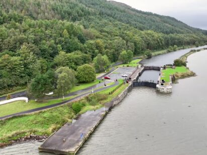
The estuary is also a vital habitat for wintering birds, specifically the light-bellied brent geese. Herons are a frequent sight on the route located north of Victoria Lock – this riparian habitat offers a unique tree line corridor running between the river shore and the canal with a range of deciduous trees including oak, holly and hazel.
As well as being a walking and cycling route, the Greenway also provides a corridor which can be used by birds, animals and insects. The hedgerows contain many wildflowers for pollinators as well as areas of long grass for insects with flora including kidney vetch, vetches, bird’s-foot trefoil all recorded along the route. This route provides an opportunity for people to interact with nature and biodiversity though respecting signage and keeping to the trail are essential in this sensitive coastal area.

Code of Conduct
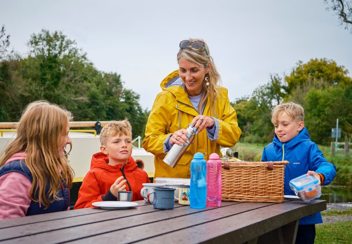
To keep our greenways welcoming and safe for all users—walkers, cyclists, families, and wildlife alike—please review our Code of Conduct before you go.
Read Code of ConductGetting There
Whether you’re travelling by train, bus, or car, use these tools to plan your route.
Common Questions
There are trailhead access points at Carlingford and Omeath in County Louth. There are also trail head access points in County Down at Victoria Lock and Newry.
There is a Bus Éireann service connecting Dundalk, Greenore, Carlingford, Omeath, and Newry that runs daily.
There are intercity train stations at Newry and Dundalk along the Belfast – Dublin route.
For further information please visit: https://www.transportforireland.ie/
24-hour public parking including accessible parking is available at Omeath and Carlingford Trailheads. There is a small amount of parking at Greers Quay along the Greenway.
There is no public EV charging points along the greenway.
The Carlingford Lough Greenway has a mixture of surface finishes. The below guidance is an approximate description of the surface finishes along the route.
- The section between Carlingford to Omeath has a smooth surface
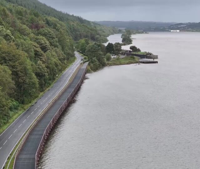
- The section between Omeath to Victoria Lock has a gravel surface finish with the exception of approximately 2 kilometres which has a smooth surface finish (boardwalk structure)
- The section between Victoria Lock and Newry has a gravel surface finish
Water fountains are located at Omeath along Greenway and Carlingford near trail head.
Bike parking is available at trailheads located in Omeath & Carlingford.
There are a number of bike hire operators in Carlingford. Further information can be found online.
Rest facilities are located in Omeath, Carlingford and Victoria Lock. Benches are located along Greenway from Omeath to Carlingford at approximately 2km spacing.
There are public toilets located at Carlingford and Omeath.
There are play areas in Carlingford & Omeath.
News and Updates
View All
Grand Canal Greenway Update
Royal Canal Greenway Update